THE U-TURN: Going up to look down
Drone flies again over Northern Bay, capturing more data after a storm to understand shifting mud
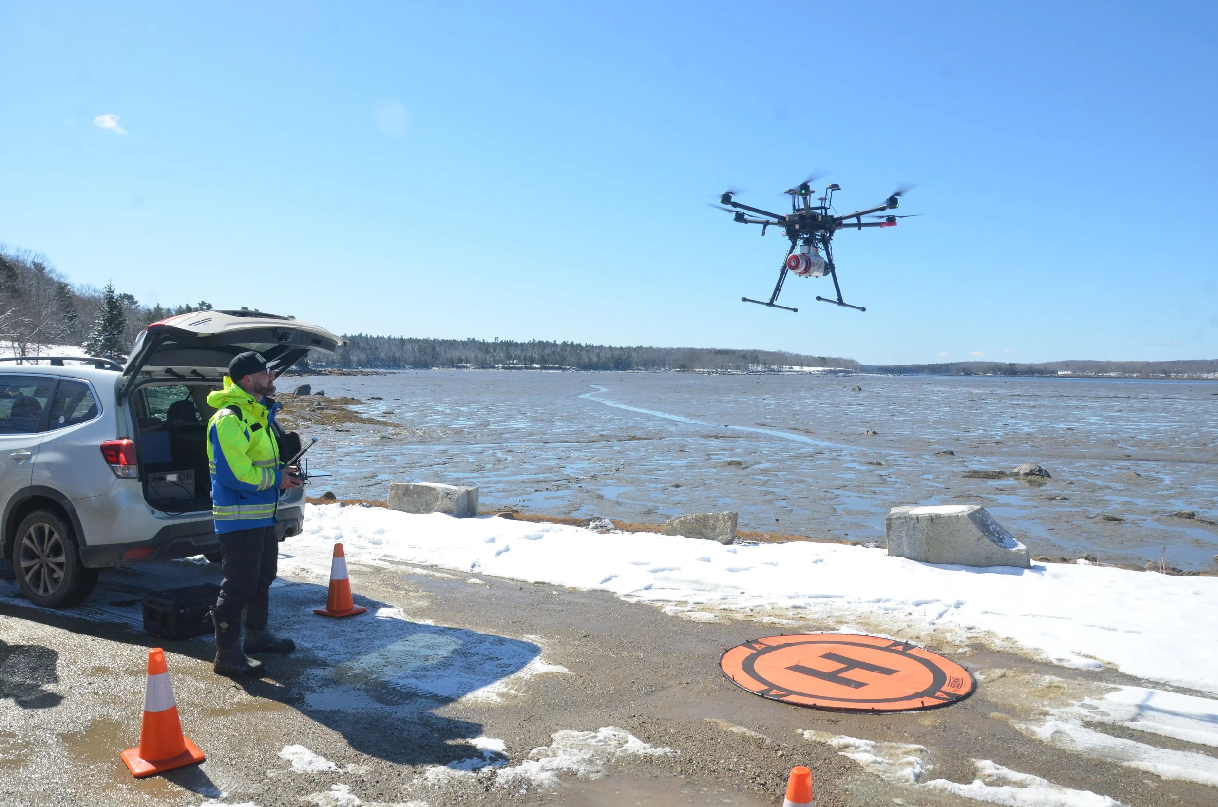
Sam Johnson pilots the drone for another run above Penobscot’s mudflats. Photo by John Boit.
March 31, 2026
By John Boit
A high-tech drone with sensors that can make detailed maps flew another sortie of mapping missions over Penobscot’s Northern Bay, a 1,000-acre expanse of mud that appears twice a day with the low tide.
Two pilots from Nearview, a New Hampshire based company arrived in Penobscot on March 24 for the latest mapping run to test the theory that mud is disappearing from the once-thriving clam flats. The timing was especially important as researchers wanted to see if a recent storm with 40-mile-per-hour winds had caused sediment to migrate in the shallow bay.
“Underfoot it feels firmer,” said drone pilot Stefan Claeson as he arrived back on land after walking the flats.
The research, which began in 2024, is a collaborative effort by the town’s shellfish committee, Nearview, Schoodic Institute in Winter Harbor, and Manomet Conservation Sciences in Brunswick. The drone uses LIDAR, a laser technology that can create detailed 3D maps of terrain.
“We had that storm and pretty high winds that lasted throughout the tidal cycle,” said scientist Hannah Webber, director of marine ecology at Schoodic Institute. “So we’re starting to wonder what’s happening to the mudflats? Are we seeing sediment leave and never come back?”
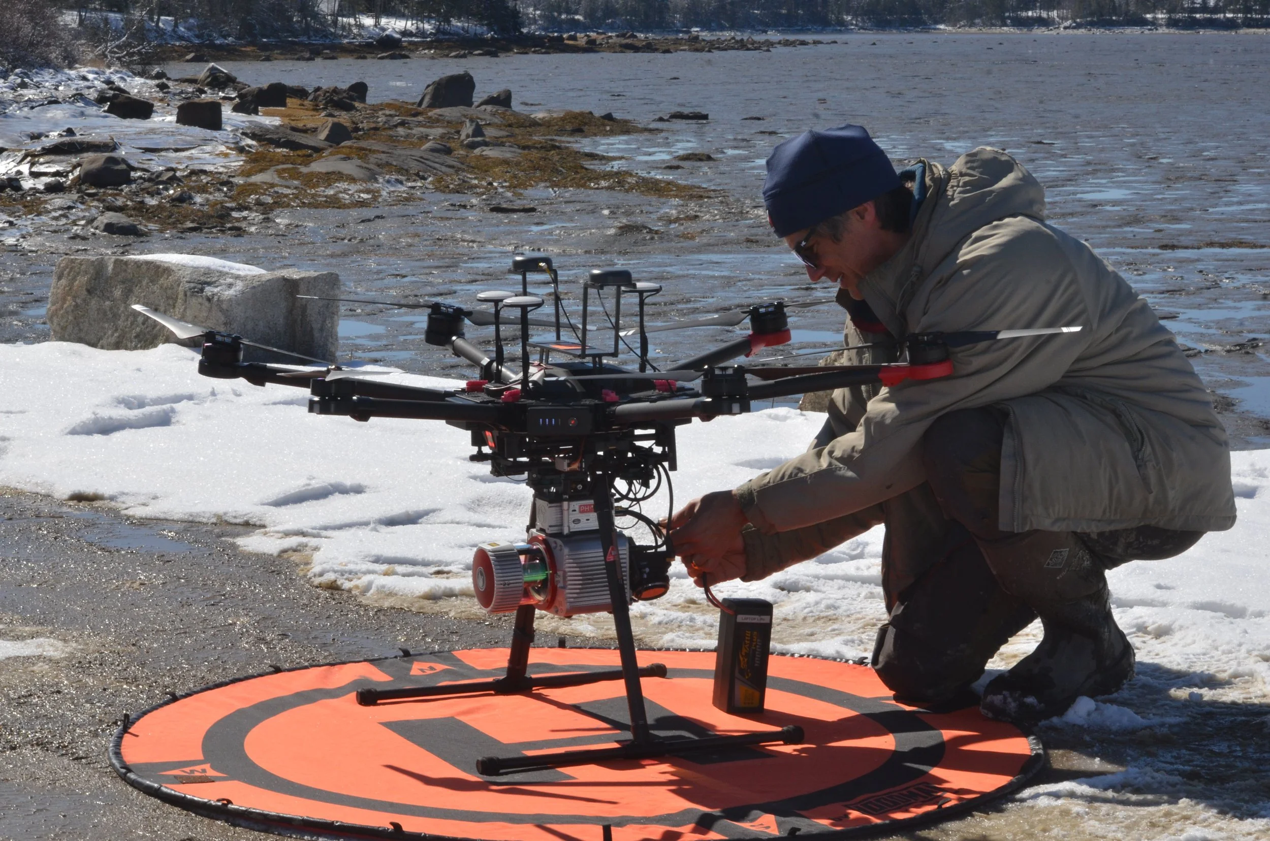
Stefan Claesson of Nearview swaps out batteries on the drone. Photo by John Boit.
Got a fun pic from around the area? Send it to us atinfo@risingtide.media and you might see it featured here in our section called THE U-TURN!