

Brooksville hosts wildfire mitigation training
‘It's so important that people have a basic understanding of the fundamentals,’ organizers say
July 15, 2026
By Jessi Hardy
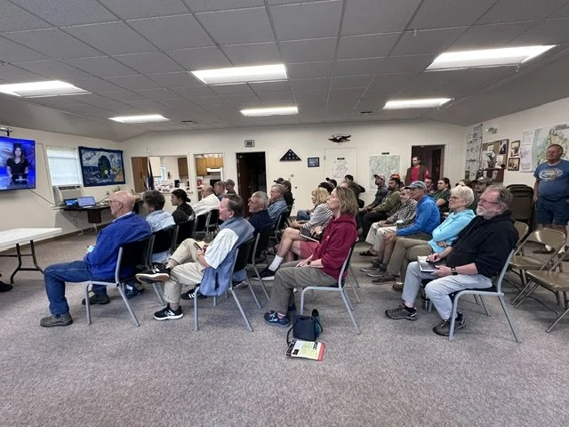
Municipal leaders, firefighters, property managers, contractors, arborists, and interested community members attended the free workshop on July 7. Photo by Jessi Hardy.
BROOKSVILE—Town officials hosted a wildfire risk assessment training on July 7 to provide attendees with critical information about wildfire prevention and preparedness. The training was part of the Blue Hill Peninsula Community Wildfire Protection Plan, which the 10 towns on the peninsula are developing.
The development of the Community Wildfire Protection Plan is being funded by a grant from the U.S. Department of Agriculture – US Forest Service, pursuant to $250,000 of Congressionally Directed Spending secured by U.S. Senators Susan Collins and Angus King. The Island Institute also provided $10,000 to expand the CWPP's scope to include Isle au Haut.
As the most heavily forested state in the nation, Maine faces a unique set of wildfire hazards. Unlike the western United States, where frequent wildfires are common, Maine’s risk is more localized and seasonal. The local CWPP planning initiative aims to pinpoint specific dangers and provide homeowners with the necessary education to safeguard their assets.
Fuel, weather and the right topography catalyze a wildfire. Matt Gomes, a retired Maine forest ranger, and Kent Nelson, an active Maine forest ranger specialist, led the training in Brooksville. They focused on the types of environmental fuels and conditions that present the most risk for local communities
Gomes said “fine fuels,” such as pine needles, dry leaves, and twigs are particularly dangerous. They are known as “one-hour fuels” because they rapidly absorb and lose moisture based on the air's humidity, but once ignited, they can create embers that expand the fire zone.
The danger of fine fuel changes with the seasons.
“It fuels the fuels, and this is what you need to understand. The fuels that we're concerned with change with the weather, ” Gomes said. “The rules change throughout the seasons.”
While spring in Maine is often associated with the arrival of lush greenery, it paradoxically presents the state’s highest wildfire risk. Experts describe a critical "window" of time that occurs after the snow melts but before "green-up"—the period when new vegetation finally brings moisture back into the landscape.
During that time, fine fuels like dead grass, leaves, and pine needles remain dormant, dry, and highly susceptible to ignition. A few dry, breezy days—what rangers call "bluebird days"—are all it takes to turn those materials into active fuel.
“On a bluebird day, you can't see a cloud, and it has very low humidity. Fire likes to burn,” Gomes said.
Local officials are working on the plan in consultation with SWCA Environmental Consultants, a global environmental consulting firm with offices in southern Maine. SWCA is helping with data collection, community engagement and risk assessment.
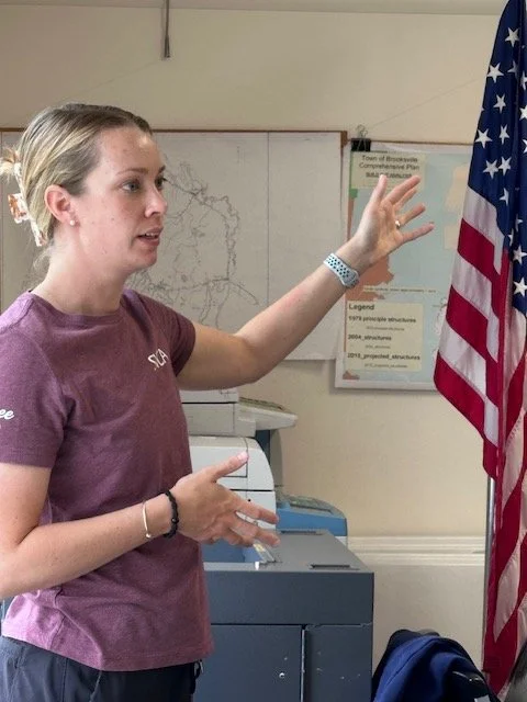
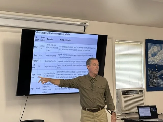
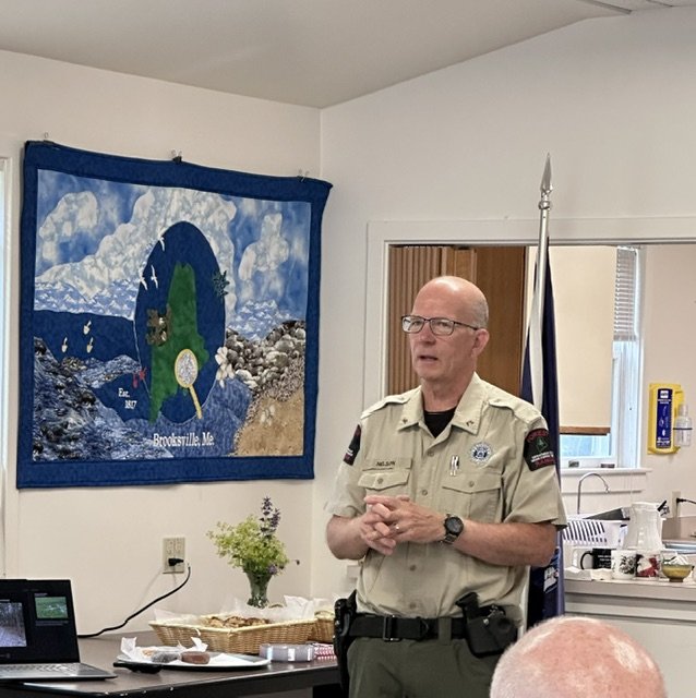
Arianna Porter, an environmental consultant with SWCA, will work with local communities on area assessments. (left); retired Maine forest ranger Matt Gomes, who spent 28 years in the field, discusses fuel categories and fire behavior (middle); Maine Forest Ranger Specialist Kent Nelson works on projects to help assess and wildfire risk throughout the state. Photos by Jessi Hardy.
The goal of the CWPP is “not to be a plan to sit on the shelf,” said Arianna Porter, an environmental consultant from SWCA working on the project. It is being developed collaboratively and relies on “boots on the ground” to gather data about local risk conditions. Porter will begin working on community assessments in the coming weeks and local volunteers are being trained to assist in data collection.
These assessments evaluate critical factors in and around homeowners' properties. They include emergency access, water supplies, and the condition of structures on each property. Ultimately, the goal of the CWPP is to educate residents about how to make their homes and properties fire-resilient. By identifying the “nooks and crannies” where a fire might ignite, Nelson said, residents can reduce the risk of “ember catchers.” Nelson and Gomes said risk zones around a house can be managed in a few steps.
“It's so important that people have a basic understanding of the fundamentals,” Nelson said.
Beyond the technical assessments, the CWPP's success hinges on community engagement. To make sure that the plan reflects local communities, each town on the Blue Hill Peninsula has appointed members to an oversight committee, providing a crucial bridge between planners and residents. The initiative is also working to foster a long-term culture of safety, including a K-12 educational program to promote “fire-wise principles,” which are designed to reduce the vulnerability of homes and communities to wildfire.
"We can't fix a problem until we identify it,” Gomes said.
Later this year, SWCA will present municipal leaders with a set of recommendations about fire safety that the towns can consider and implement. Once the wildfire protection plan is complete, each of the 10 participating towns will qualify for funding from the U.S. Department of Agriculture's Community Wildfire Defense Grant program, which the U.S. Forest Service administers.