

Some say it’s the most beautiful Superfund Site
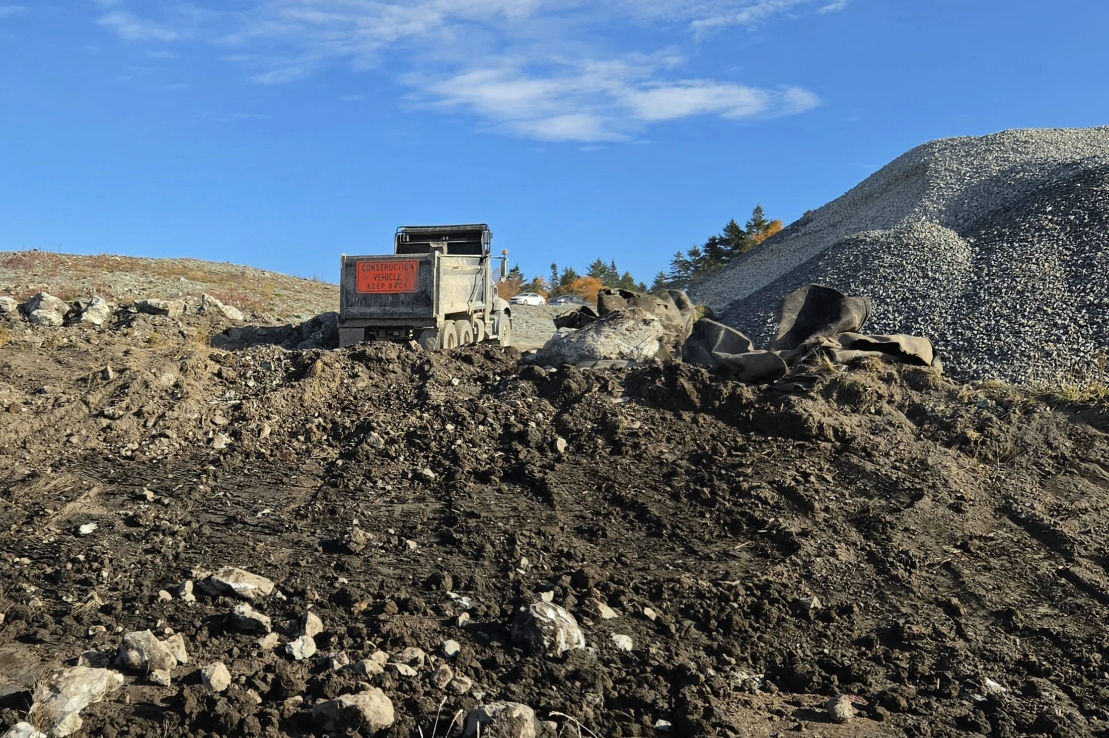
A Sargent Corp. truck moving earth at the Callahan Mine. Up to nine of these trucks a day, six days a week, travel through Brooksville, bringing construction material to the town's Superfund site. Photo by John Epstein.
Nov. 2, 2026
By John Epstein
BROOKSVILLE–At Brooksville’s 120-acre Callahan Mine site opposite Cape Rosier’s Goose Pond, dump trucks crawl up steep inclines to unload rocks and soil that bulldozers move into place, while excavators dig drainage trenches and huge machines crush boulders into usable chunks.
All of this equipment is operated by Sargent Corp., an Orono-based heavy construction contractor. The work is part of the final government effort to alleviate contamination dangers at the former open pit mine that the U.S. Environmental Protection Agency declared a Superfund Site in 2002.
The Rising Tide had a chance to see the remediation work firsthand during a visit on Oct. 28. Ben Kuhaneck, remedial project manager with the EPA, and Bill Phelan, construction control representative for the Army Corps of Engineers, conducted the tour, which included Brooksville’s select board chair John Gray and board member Linda Gifford.
Everyone piled into a large, white pickup, which Phelan then drove with care over temporary roadways, rock, and earthen embankments.
“I’m glad to see how much progress they’ve made on the project,” said Gray, who once worked at the mine analyzing copper ore.
Capping Callahan Mountain
The Callahan Mine was an open pit copper mine, 300 feet deep and 600 feet wide, on a site created after draining a portion of the Goose Pond estuary, as described on the EPA’s website. The mine operated between 1968 and 1972. It closed due to lack of profitability, leaving behind a huge pile of waste rock dug from the pit. That pile came to be known as Callahan Mountain.
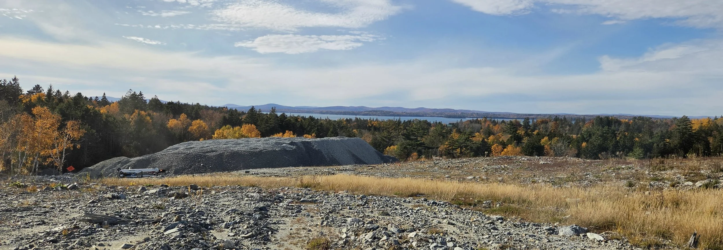
A westward vista from "Callahan Mountain” at the Callahan mine. Photo by John Epstein.
The waste rock contained hazardous substances, including arsenic and lead. Environmental assessments showed these substances to be above acceptable levels at the mine site and near residential properties. In addition, polychlorinated biphenyls (PCBs), which are carcinogenic, leaked onto the site from transformers used to power mining equipment. Testing showed that groundwater contained toxic metals that impacted wildlife.
The EPA, in conjunction with Maine’s Department of Environmental Protection, conducted remediation work at several private home sites near the mine. This included removing soil from property adjacent to the site and replacing wells, which, Gray said, had been contaminated by saltwater infiltration. The PCB contamination was remediated in 2013.
Maine DEP took the lead in removing tailings from the mine pit, which had been filled with water from the Goose Pond estuary when a dam was opened after the mine ceased operation. The tailings, described by Kuhaneck as the powdery residue from the mining process, were pumped from the bottom of the pit, treated, and transferred in 2021 further south on the mine site. There, the material was covered with a water-resistant membrane and a layer of rocks.
From 2023 to 2024, Maine DEP excavated contaminated salt marshes and wetlands at the Goose Pond estuary and then restored those areas.
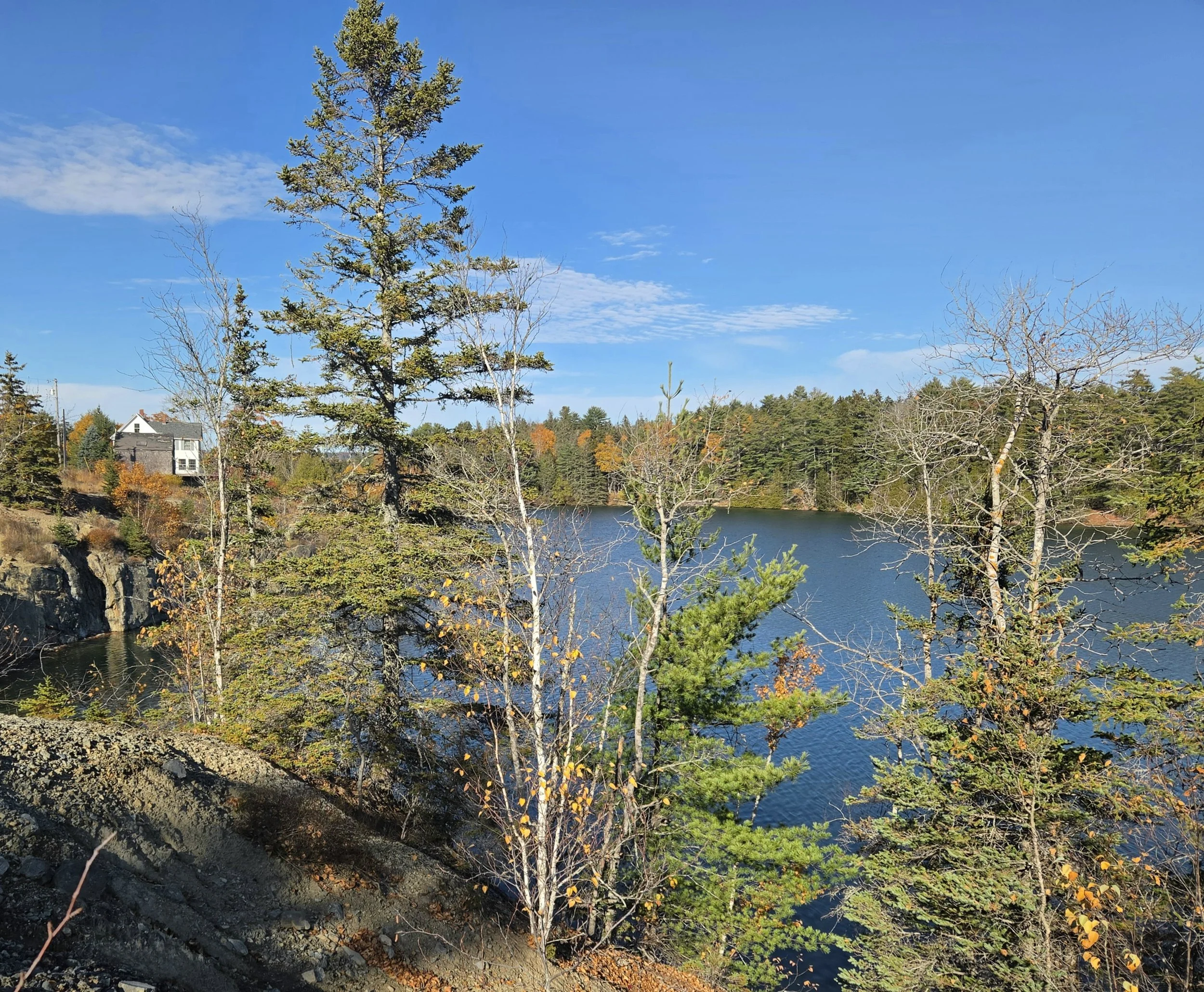
The waters of Cape Rosier's Goose Pond now fill the site of the 300 feet deep open pit that was the Callahan Mine. Photo by John Epstein.
The final construction phase of the Superfund Site closure involves capping the Callahan Mountain waste rock.
“It’ll be a layered process,” EPA’s Kuhaneck said, which he describes as “first, a layer of stone, followed by an impermeable membrane, followed by another layer of stone.” He emphasized that “the goal is to keep the water out so that contaminants don’t leach out.”
The ongoing project
Due to a lack of topsoil and usable rocks at the Callahan Mine site, the EPA has had to truck in the necessary construction material to complete the capping. Accordingly, Brooksville residents have noticed large Sargent dump trucks motoring through Bucks Harbor on their way to Cape Rosier.
“It used to be six trucks a day, then it went up to eight, and now it will be up to nine, which is great because we want to get as much of this work done as possible before winter sets in,” Gifford said. She thanked Sargent’s safety manager, Arthur Herbest, for making sure the trucks drive carefully on Brooksville’s roads.
“I’m very glad the trucks are going slowly,” said Phelan of the Army Corps of Engineers.
Sargent, the prime contractor on the project, has had workers on the site six days a week creating drainage ditches and swales using available materials at the site, as well as using the rock being trucked in. The goal is to get as much work in before winter.
“The target date for completion is January 2028,” Kuhaneck said.
The after-life of a Superfund Site
The Callahan Mine property is currently owned by the nonprofit Smith Cove Preservation Trust, but its use is restricted by the Superfund Site designation. Federal and state sign-offs will be needed before the public can use the area for recreation.
“We were hoping that the town could acquire the property, but that’s not looking like it’ll happen anytime soon,” Gray said.
Phelan said the site likely wouldn’t be open for public recreation, such as kayaking, until sometime after 2030.
Indeed, there are still ongoing safety issues. Kuhaneck said that test results for groundwater safety are still being analyzed. He noted that Maine’s DEP takes the lead on water safety issues, while the EPA helps with research.
“The EPA will never leave a Superfund Site; we will always monitor it,” Kuhaneck said.
Kuhaneck said that the mine site is subject to safety reviews every five years.
When asked how the Callahan Mine compares to other Superfund Sites, Kuhaneck said that all Superfund sites have their complexities.
“But one thing I can say about the Callahan Mine site is that people say it’s the most beautiful,” Kuhaneck said.
Indeed, Gray said the land where the mine sits was once a small farm that looked down on rolling hills running along the estuary. Despite the rocky moonscapes carved into those hills, one can still appreciate its beauty.
